Quantitative Analysis of UAS Data
Overview
The next offering of this course will be March 13 – April 30, 2023
Quantitative Analysis of UAS Data is the third course in the three course sequence, UAS Applications and Operations in Environmental Science: Become the Scientist Pilot. This three course sequence is taught online, with both asynchronous and synchronous components, providing significant flexibility for professionals seeking to learn more about how drones are applied in environmental science. Learn more about the sequence.
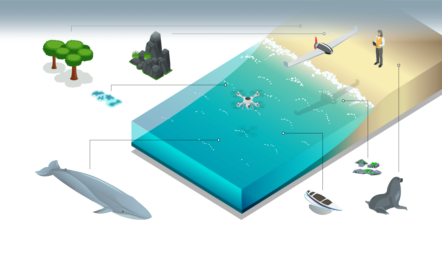
Gain hands-on experience with drone data and modern analytical software needed to assess habitat changes, count animal populations, study animal health and behavior, and assess ecosystem relationships. This course lasts seven weeks and features asynchronous video lectures and assessments, plus seven 1.5 hour synchronous sessions Thursdays from 7-8:30pm ET.
At the end of this course, you will be able to:
- Identify key aspects of precision and accuracy of drone-derived data.
- Identify key factors of optical remote sensing and how they apply to drone data collection.
- Analyze standard RGB, multispectral, and thermal imagery collected from drone sensors.
- Create orthomosaics, 3D point clouds, and spectral indices of regions sampled with drones.
- Combine GNSS surveys and drones data to create accurate and precise products for further analysis.
- Analyze drone data to detect ecosystem change via reflectance variation or volumetric deviations.
- Assess the body condition of whales using standard photogrammetric equations and open-source software.
- Label imagery and count animal populations using a convolutional neural network.
The cost to take a single course in the sequence is $2,000; the cost to take the entire three course sequence is $4,200.
No Instructors added